
Investment Specialists
No agents available.
For Lease
Factory
Warehouse
Office Building
| Name | Floor Space | Unit Price | Floor Level | Height | Building | |
|---|---|---|---|---|---|---|
 | ||||||
For Sale
Factory
Warehouse
Office Building
| Name | Floor Space | Unit Price | Floor Level | Height | Building | |
|---|---|---|---|---|---|---|
| ||||||
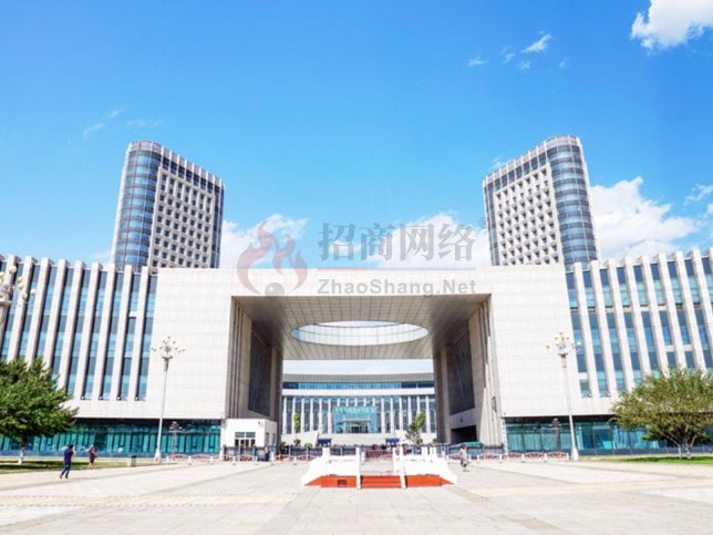
Development Zone Introduction
The Helinger Economic Development Zone covers a planned area of 24.8 square kilometers, with 14 square kilometers already developed to meet the "seven utilities and one leveling" standards.The entire development zone slopes from south to north and from east to west, with an elevation ranging from 1,100 to 1,130 meters. It features a vast territory that is easily developed. The zone enjoys unique geographical and transportation advantages. It is situated within the “Golden Triangle” of the economically developed Hohhot-Baotou-Ordos (Hohhot-Baotou-Ordos) region in the autonomous region;Its geographical coordinates are 111°47′30″ east longitude and 40°28′00″ north latitude. The area has a semi-arid continental monsoon climate, with an average annual temperature of 5.4°C, a maximum temperature of 31°C, a minimum temperature of -21°C, and annual precipitation of approximately 421 millimeters.National Highway 209 runs through the district, and the county’s road network is well-developed; it is 7.8 kilometers south of Helinger County and 20 kilometers north of the Third Ring Expressway in Hohhot, the capital of the autonomous region; it is 38 kilometers south of the Fengzhun Railway (Fengzhen–Zunyi) and 41 kilometers north of Baita Airport, with connections via national highways, provincial highways, and expressways.
Transportation Location
Return to location
- Highway
- Port
- Airport
- Logistics
- Life
region
trade
medical
school
travel